| P A U L | M I T C H E L L | H E S S |
|
Associate Professor, Department of Geography and Program in Planning, University of Toronto | ||||
|
|||||
|
|
|
|
|
|
RESEARCH AREAS |
REPORTS |
| Pedestrian Environments and Design | Walkability in Toronto's High-Rise Neighbourhoods | |||||||
| Planning for Active Transportation Modes | ||||||||
| Streets as Public Space | Full Report | High Resolution (33 MB) | 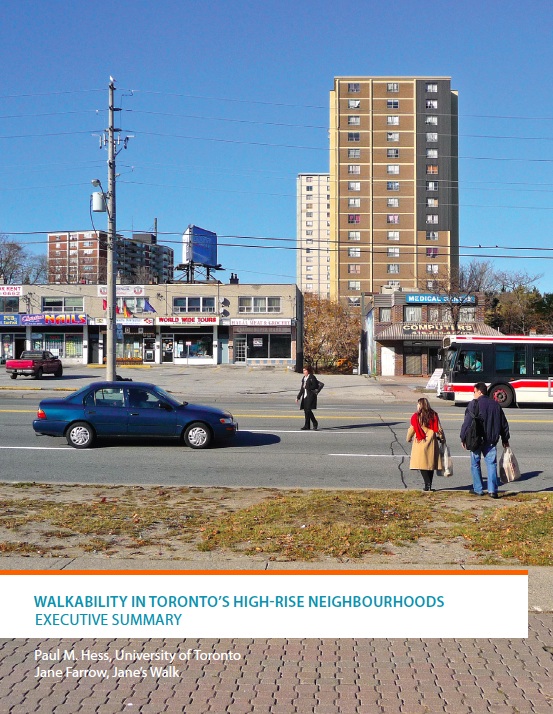 |
|||||
| Suburban Form and Development | Low Resolution (8 MB) | |||||||
| Planning History | Executive Summary: | High Resolution (8.5 MB) | ||||||
| Low Resolution (1.3 MB) | ||||||||
| COURSES | ||||||||
| JGI 346 - Urban Planning Process | ||||||||
| JPG 1554 Trasnportation and Urban Form | ||||||||
| Advance Studio in Urban Design and Planning | ||||||||
| PLA 1654 - UD Research Seminar | ||||||||
| Urban Design & Development Controls | See: Janeswalk.net/walkability for preliminary study reports by study area, "walkability toolkit" | |||||||
| and other resources | ||||||||
| Making Toronto's Streets: Hess and Milroy (2006) report | ||||||||
| for Centre for Urban Health Iniatives, Univ. of Toronto | ||||||||
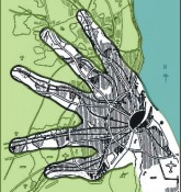
| Metropolitan Form Poster | ||||||||
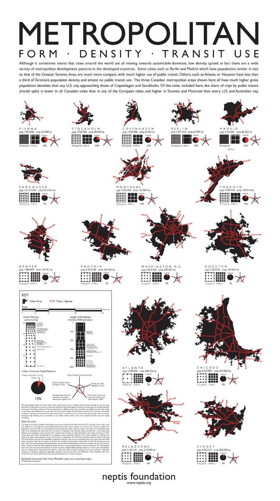 |
This poster was produced by André Sorensen and Paul Hess, in collaboration with the University of Toronto Cartography Office, for The Neptis Foundation.
For copies of this poster and documentation of the methodology, please visit The Neptis Foundation |
|
||||||